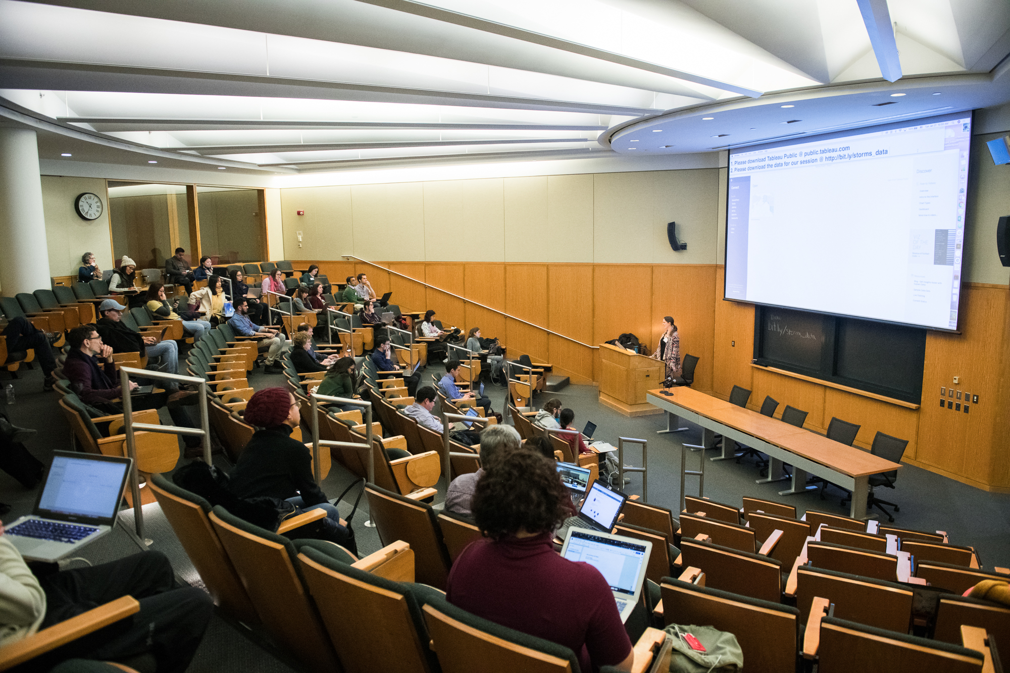
Date:
Friday, February 6, 2015, 1:00pm to 3:00pm
Location:
B127 52 Oxford St - Northwest Building
The ability to 'wrangle' various forms of data into a GIS is necessary in order to produce maps or analysis. Students will learn how to convert and properly geo-reference raw data in text form into GIS format, find and import relevant publicly available data, and produce a map of the results.
Taught by Jeff Blossom